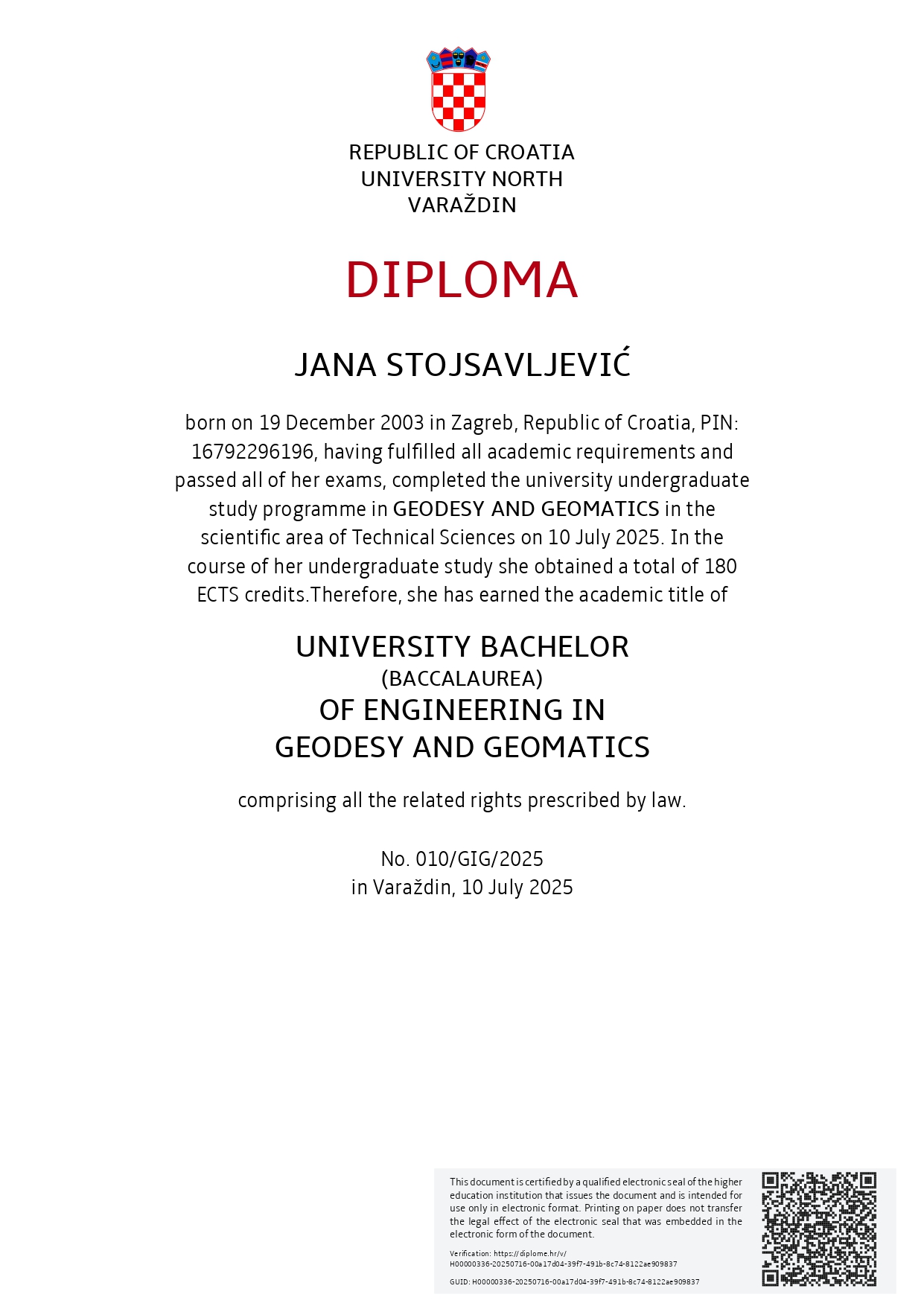
I'm Jana Stojsavljević, learn more about me!
I was born on December 19, 2003. in Zagreb Croatia. I'm currently studying on Copernicus Master in Digital Earth on spatialization track Geovisualization and Geocommunication. After my studying I want to become a GIS developer and cartographer. On this page you will find my whole study journey, projects that I did, certifications I got and much more.
CVElementary school Gornje Vrapče, www.os-gornjevrapce.hr (2010.-2018.)
Geodesy high school Zagreb, www.geoskola.hr (2018.-2022.)
University North, Department of Geodesy and Geomatics, www.unin.hr/geodezija-i-geomatika/ (27.07.2022.-10.07.2025.)
Co-funded by the European Union, Erasmus Mundus Joint Master (EMJM) “Copernicus Master in Digital Earth”, www.master-cde.eu (01.10.2025.- Current)
Project shows 4 maps in Croatia and their description. Project was made as assignment in course Space visualization at University North. Language of project: Croatian.
PDFDuring my internship in my bachelor's I needed to keep an internship diary. Diary contains whole internship journey. Language of project: Croatian.
PDF
This project is part of 'Advanced Cartography' course. It shows map about employment in European countries by EQF (education level). This project is still in progress so there will be updates. Language of project: English.
PDFThis project shows assignments in programming for the course 'Practice Software Development'. This project will be updated.
Project 4Bachelor thesis theme: Mobile photogrammetry and LiDAR on modeling of infrastructure object with limited access
Source for thesis: DABAR repo (all thesis from University North is published there)
Thesis language: Croatian
My bachelor thesisUniversity e-mail: jana.stojsavljevic@stud.plus.ac.at
Personal e-mail: stojsavljevicjana@gmail.com
LinkedIn: My LinkedIn
GitHub: My GitHub